A spirited river
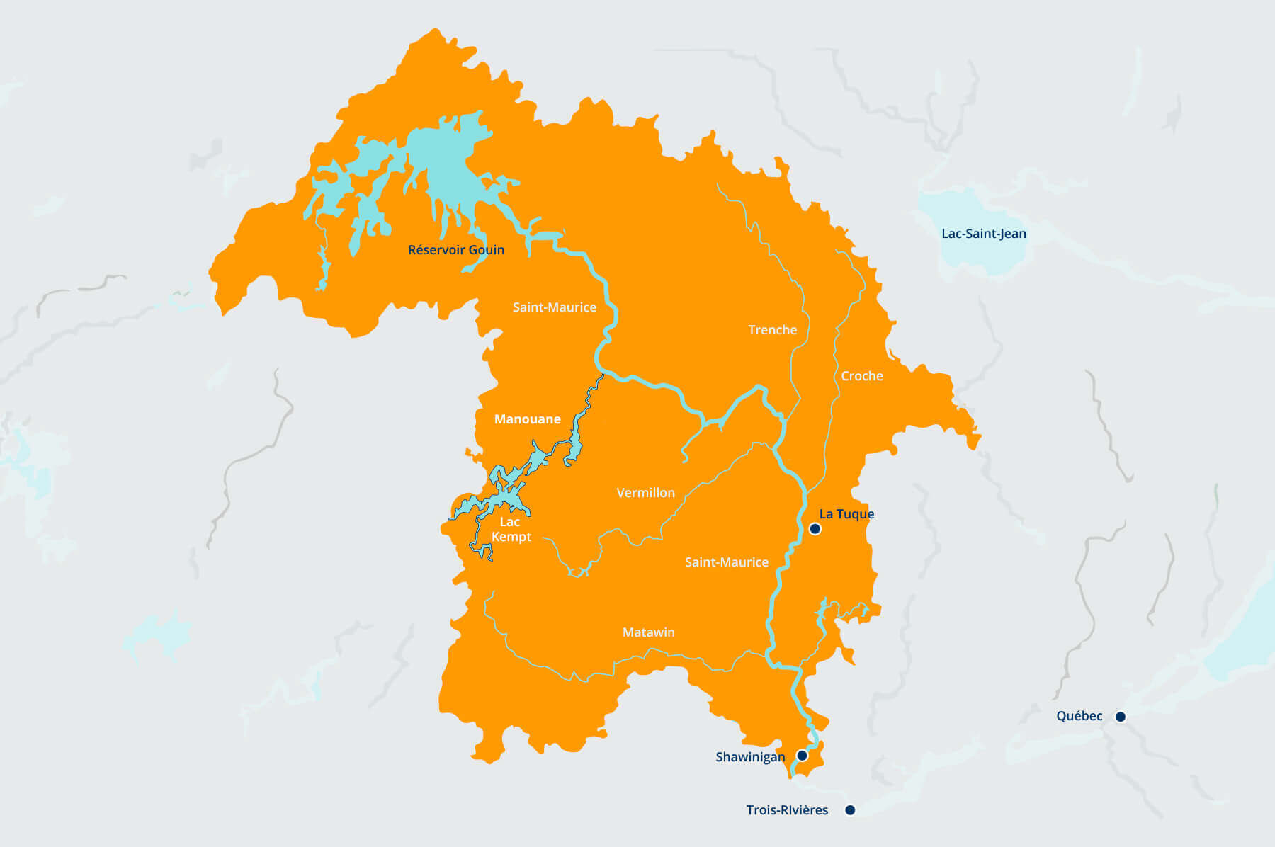
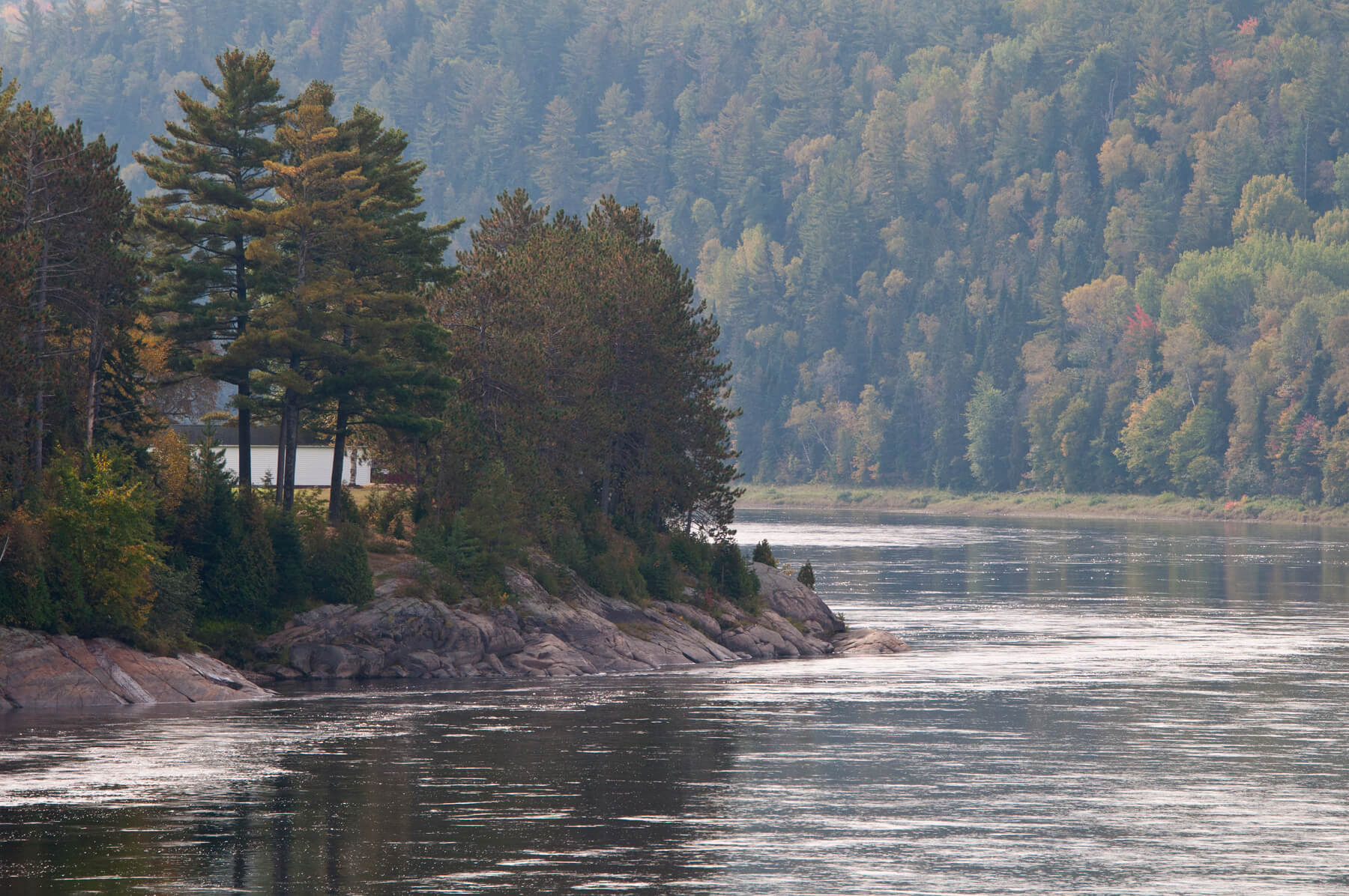
The Rivière Saint-Maurice covers a distance of 563 km in the Mauricie region, and its flow varies tremendously from one season to another. The source of the river is the Hudson Bay and Atlantic Ocean watersheds upstream of Gouin reservoir, the custodian of the Rivière Saint-Maurice.
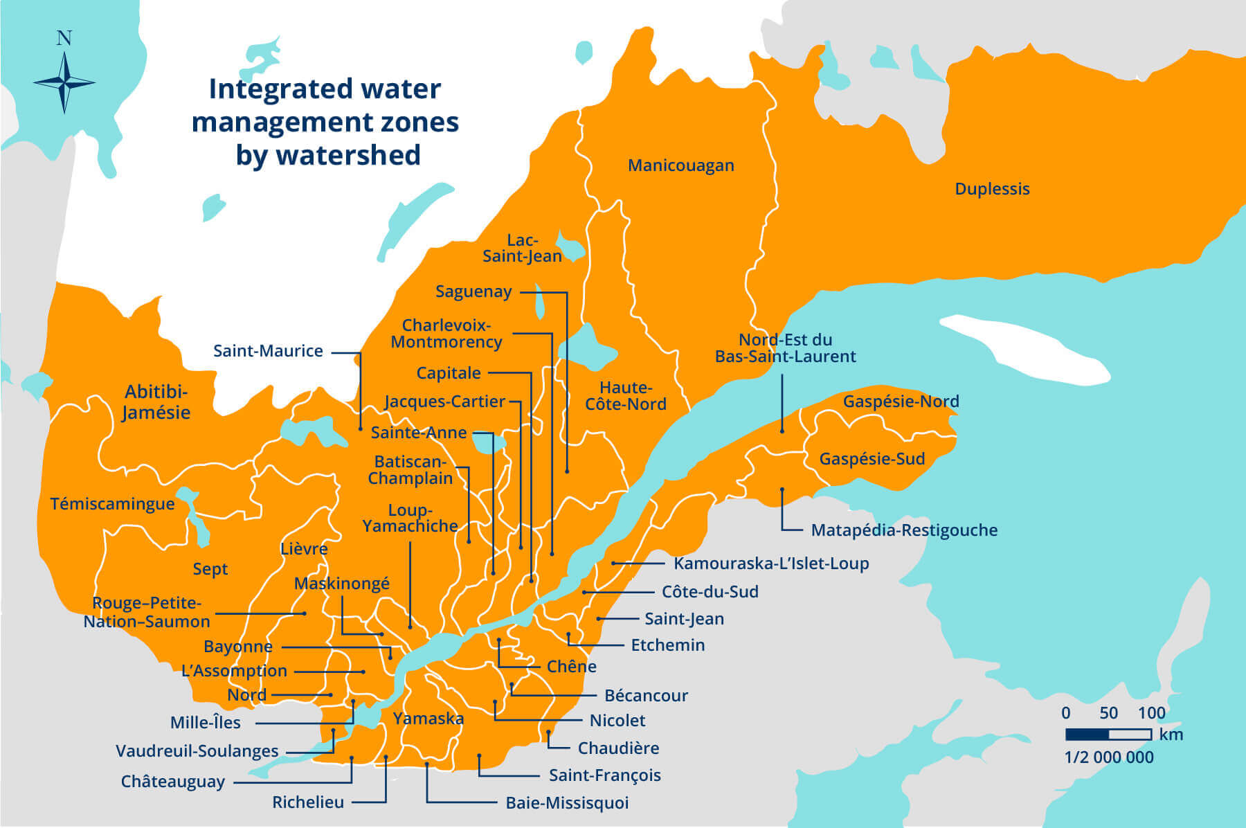
Québec’s watersheds
Québec has 430 major watersheds, of which some 100 have a surface area greater than 4,000 square kilometres. The integrated management of water resources by watershed is an ongoing process, overseen by the
Ministère du Développement durable, de l’Environnement et de la Lutte contre les changements climatiques![]() [information in French only].
[information in French only].
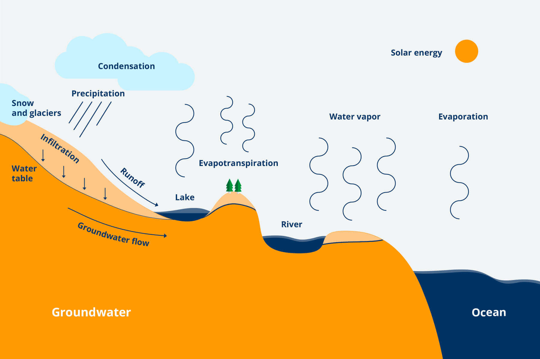
Water cycles
Water is part of a continuous cycle. The sun heats up oceans, lakes and rivers, causing water to evaporate. Water vapor rises into the atmosphere, where it condenses, becoming clouds. When the saturation point is reached, the clouds release droplets of water that fall in the form of rain or snow. In this way, water returns to the earth and flows into lakes, rivers and oceans, and the cycle is repeated.
The Rivière Saint-Maurice watershed
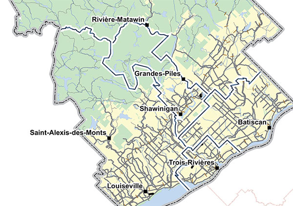
The Rivière Saint-Maurice watershed extends over 42,651 square kilometres, about the area of Switzerland. The river receives inflows from 100 tributaries and 36,000 lakes. The territory of the Rivière Saint-Maurice watershed extends into six of the Mauricie’s neighbouring administrative regions: Lanaudière, Abitibi-Témiscamingue, Saguenay–Lac-Saint-Jean, Capitale-Nationale, Laurentides and Nord-du-Québec.
Sharing the river in the 1910s
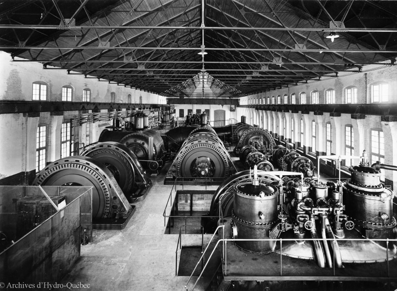
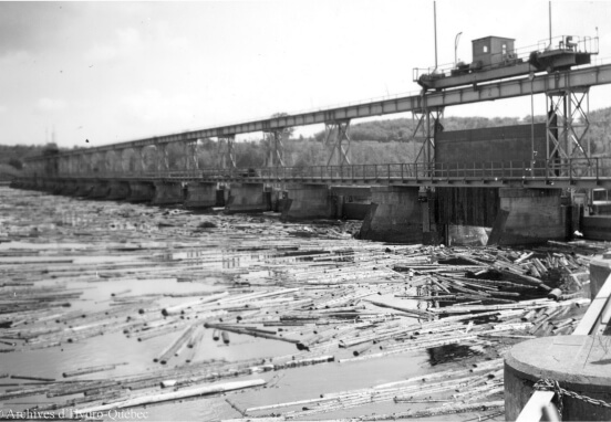
In the early 20th century, the flow of the Rivière Saint-Maurice was used by several pulp and paper and hydropower companies. In 1909, these companies formed the Saint Maurice Hydraulic Company in order to regulate the river. The group included the Canada Iron Corporation in Trois-Rivières, the Quebec and St. Maurice Industrial Company in La Tuque, the Laurentide Company in Grand-Mère, the Shawinigan Water and Power Company in Shawinigan, the Union Bag and Paper Company in Cap-de-la-Madeleine, the Grès Falls Company, the St. Maurice Driving and Improvement Association, and the St. Maurice River Boom and Driving Company. At the time, residents and Indigenous communities had no say in the matter.
Regulating the flow of the Rivière Manouane
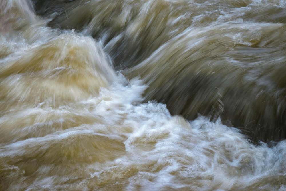
The natural flow of the Rivière Saint-Maurice varies significantly from one season to the next. In 1913, it fluctuated between 170 m3/s in summer to 5,700 m3/s during the spring flood. In 1909, the Saint-Maurice Hydraulic Company was founded to rally industrial interests around a common goal: the regulation of the spirited Rivière Saint-Maurice. Between 1909 and 1911, the Shawinigan Water and Power Company restored a former log driving dam, Manouane-A, and built two new dams, Manouane-B and C. This was the first step toward regulating the Rivière Saint-Maurice. The positive results—the constant flow of the Rivière Manouane—paved the way for the development of Gouin dam.
Role of the Quebec Streams Commission
Pleased with the success of the dams on the Rivière Manouane, in 1910 the Saint-Maurice Hydraulic Company submitted a proposal to the Québec government for the construction of four small dams in the upper portion of the Saint-Maurice. However, instead of mandating the company to build the dams, the government gave the job to the newly created Quebec Streams Commission. This move reflected the government’s desire to take control of its hydropower resources. Gouin dam was its first mandate. Starting in 1912, the Commission’s technical personnel carried out studies for the project. Other studies followed in the ensuing years, culminating in a plan for the construction of a single dam to create the world’s largest reservoir at the time.

The role of the Shawinigan Water and Power Company
In 1915, the Québec Streams Commission launched a call for tenders to construct Gouin dam. Nine bids were submitted by June 15. The contract was awarded to the Saint-Maurice Construction Company, a subsidiary of the Shawinigan Water and Power Company, which had built most of the hydroelectric plants on the Rivière Saint-Maurice.
The Saint-Maurice hydropower complex
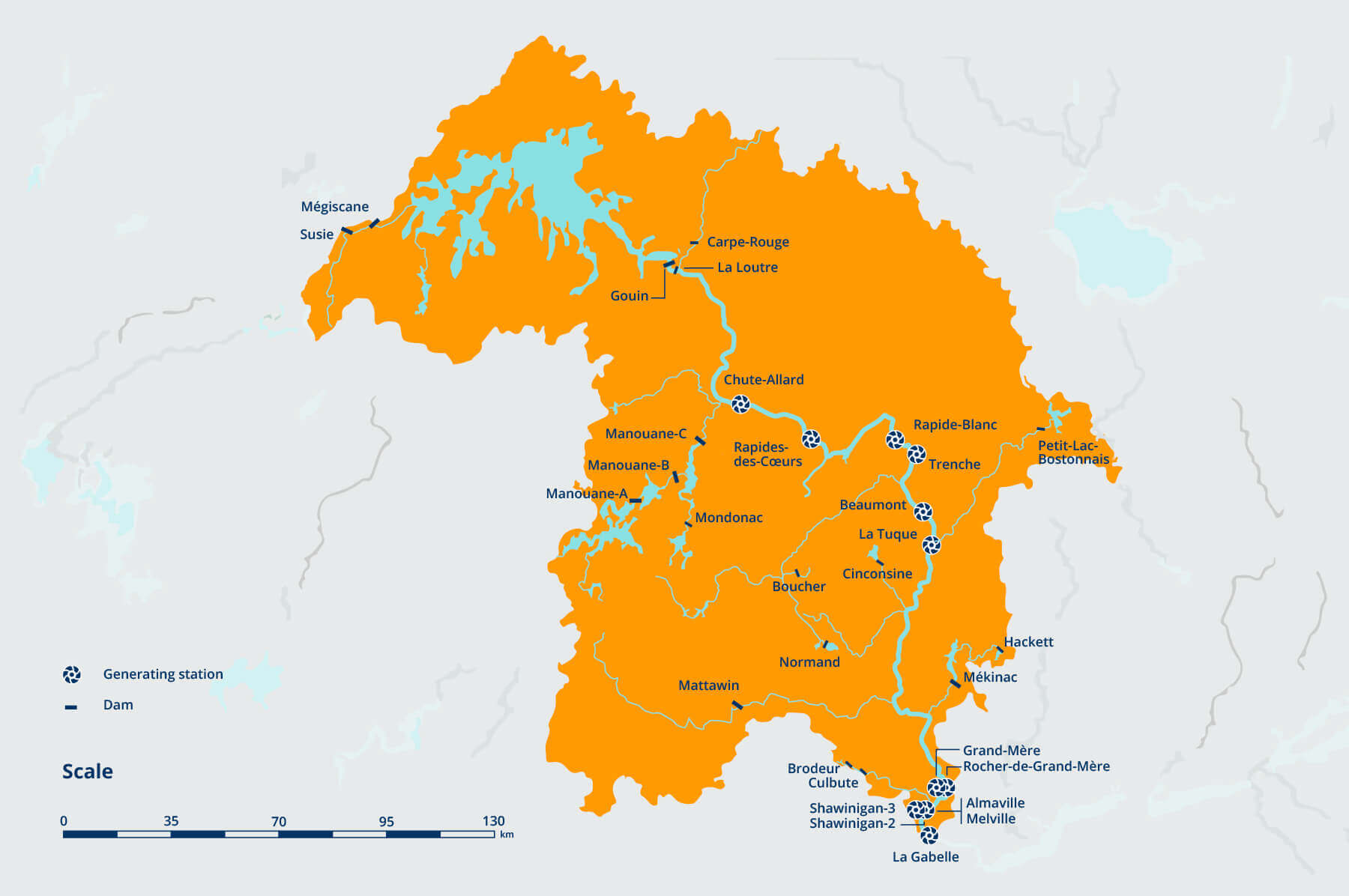
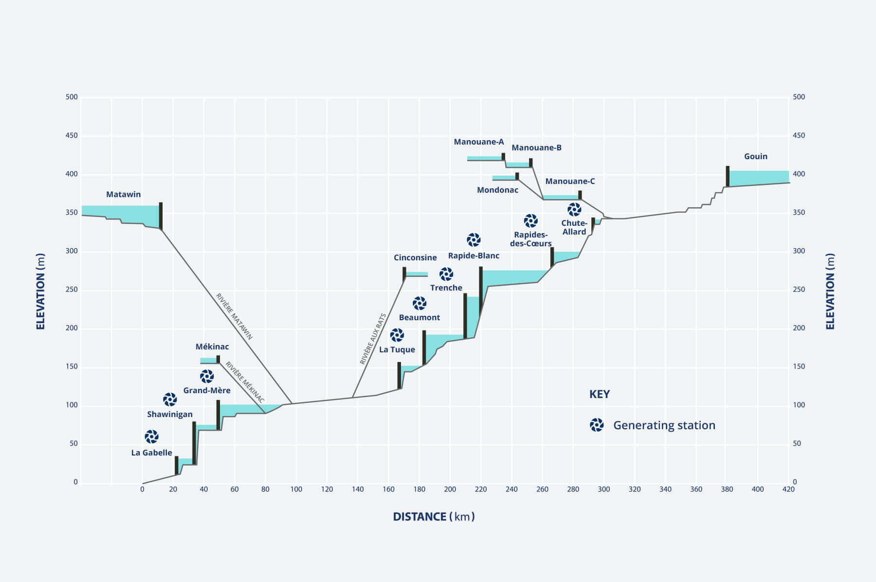
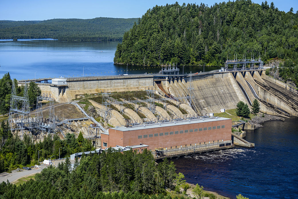
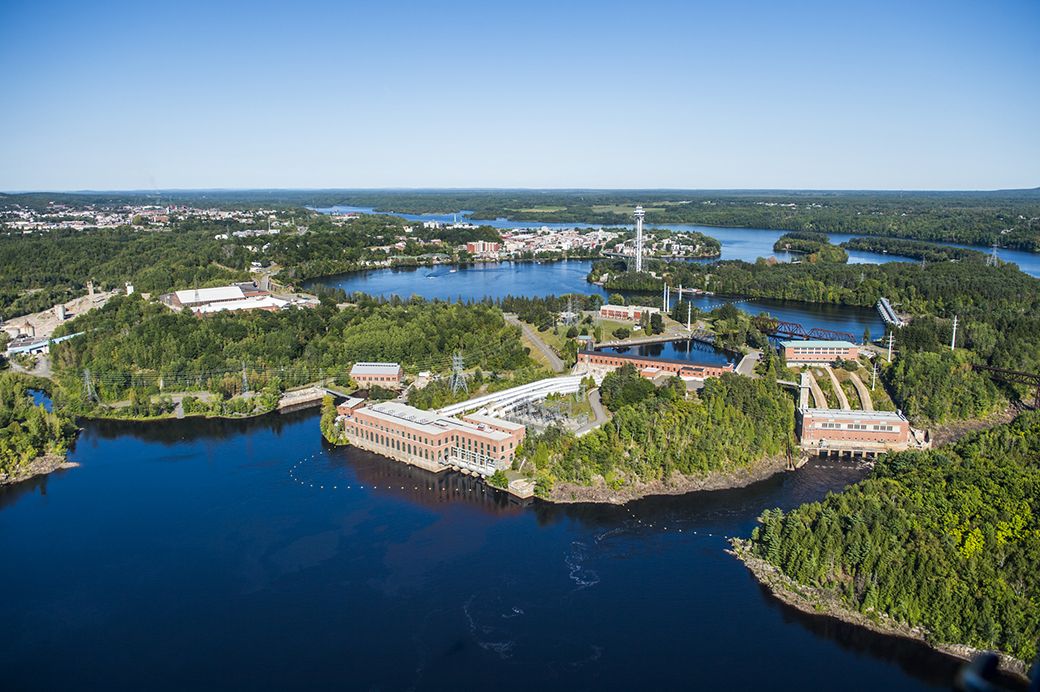
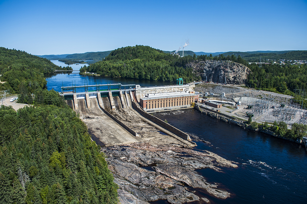
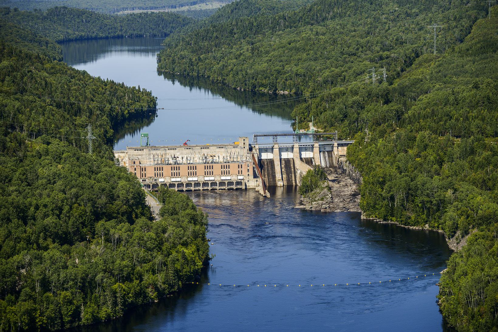
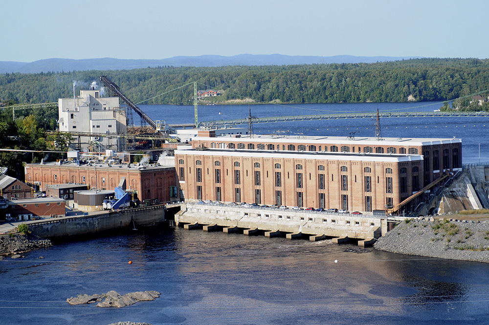
With its strong flow and high heads (drops in elevation), the Rivière Saint-Maurice had several suitable spots for the construction of a hydropower generating stations. These facilities generate electricity by using water to propel turbines, which in turn drive generators. All of the generating stations on the Saint-Maurice (except for Rapide-Blanc) are run-of-river stations. This means they are directly powered by the river and have no reservoirs, which is why the construction of Gouin reservoir was so important.
The annual cycle of Gouin reservoir
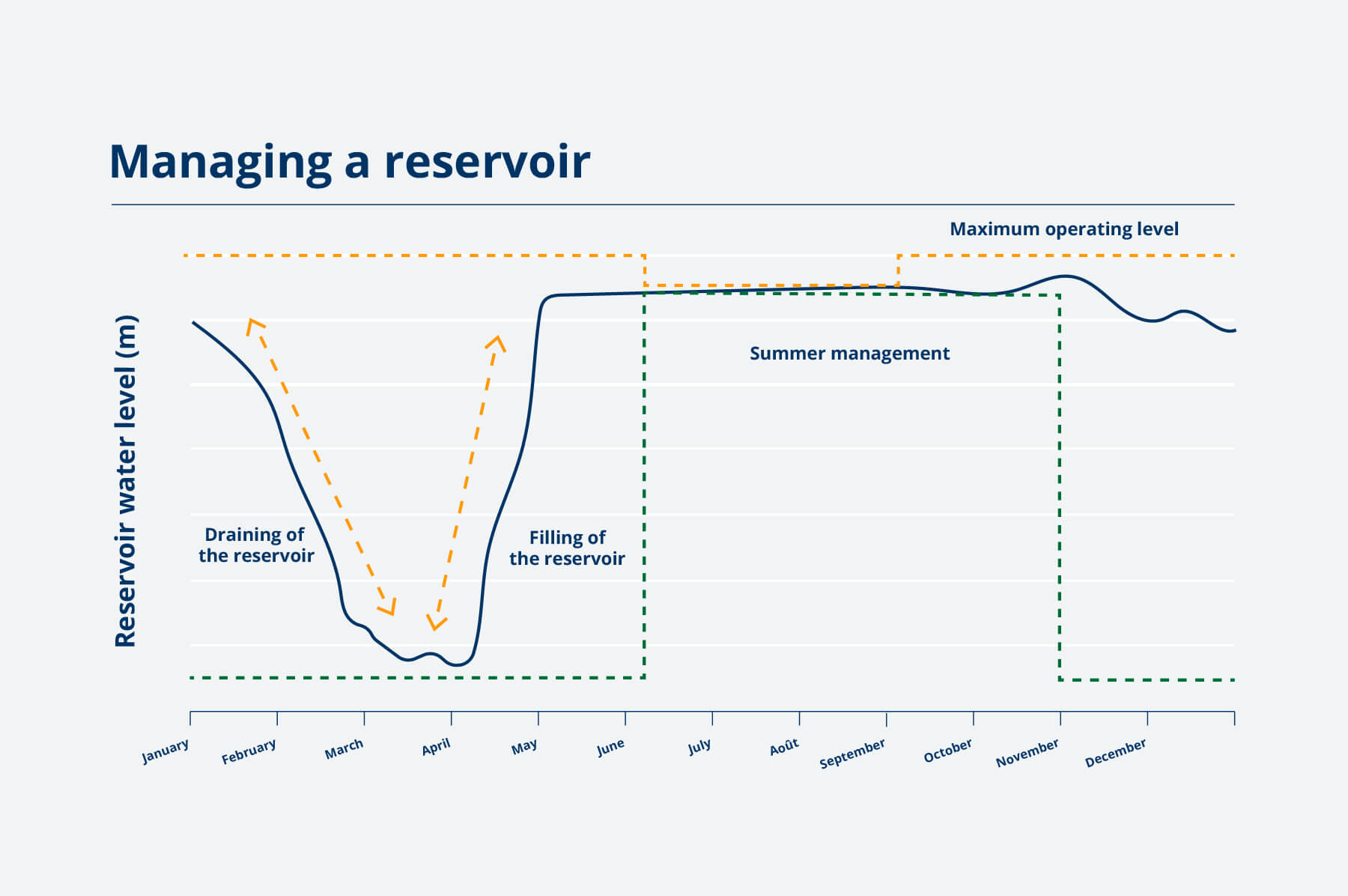
Since electricity in Québec was nationalized in 1963, Hydro-Québec has managed the Rivière Saint-Maurice complex. The water level in Gouin reservoir varies throughout the year. In winter, Hydro-Québec lowers the water level so that snowmelt and spring flooding can refill it up again. By summer, the reservoir’s water level is at its peak, where it remains until the end of fall. The cycle starts over year after year, depending on rain and snowfall. This is how Hydro-Québec ensures the physical safety of those who use the river, as well as the energy security of Quebecers.
Water flow reserved for generating stations
The construction of the Gouin, Manouane-A, Manouane-B, Manouane-C, Mattawin and Mékinac dams has shaped the Mauricie region. The dams allow Hydro-Québec to manage 40% of the water inflow (snow, rain and runoff) from the Rivière Saint-Maurice watershed. The remaining 60% of water falls directly into the river. The eleven hydroelectric generating stations installed along the river need a certain water flow to operate efficiently and continue producing electricity based on demand.
Sharing the river today
It is not only Hydro-Québec’s generating plants that use the Rivière Saint-Maurice. Indigenous communities, residents, municipalities, tourists and outfitters also share the river throughout the year. Integrated management with all users and government authorities is therefore very important.
Public land use plan for the Mauricie region
[PDF – 2.86 Mo]![]() [information in French only].
[information in French only].
