


Info-project line:
Montérégie
1 877 653-1139

In spring and summer of 2021, Hydro‑Québec consulted with community representatives, environmental groups, Indigenous communities, property owners affected by the project and residents of the study area. Our goal was to identify their concerns so that we can adjust the project to meet their needs wherever possible.
Between the two variants for the northern portion of the line, we selected the one with the least impact: it runs along Rang Saint-Raphaël, Rang Saint-Claude, Montée Signer, Rang Saint-Marc, Route Édouard-VII and Montée Saint-Jacques, in the municipalities of Saint-Philippe and Saint-Jacques-le-Mineur. This line route has the following advantages:
The line route selected will cover a distance 56.1 km underground and 1.6 km underwater to reach its interconnection point at the Canada–U.S. border.
The planned line will run along Highway 15 for 24 km and along the rights-of-way of provincial and municipal roads for 29 km. In fact, nearly 94% of the line’s length will be built on roadside rights-of-way. The remainder of the line—a little more than 3 km—will run through residential and farm land as well as Hydro‑Québec property.
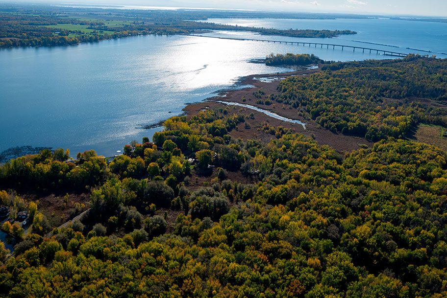
The southernmost portion of the line will run along the Ruisseau Fairbanks to the Rivière Richelieu, where the interconnection point with the U.S. power system will be located, at the Canada–U.S. border.
Based on the comments Hydro‑Québec received during consultations, we are currently studying a number of potential mitigation measures:
Over the next few months, we will continue discussions with the representative of the host community to ensure that all concerns have been considered and that construction is strategically planned to keep inconveniences to a minimum.

From an environmental standpoint, the particularity of an underground line project like the one being studied is that the main impacts on the natural and human environments are temporary and mainly associated with the construction phase. This means that its residual environmental impacts are nil or very limited.
In this type of project, technical considerations are also important (underground space, presence of other infrastructure, clearance, etc.).
To connect Hertel substation to the Canada–U.S. border interconnection point in the Rivière Richelieu while minimizing work-related impacts, Hydro‑Québec considered the following location-related requirements:

To determine the route with the least impact, Hydro‑Québec delimited a vast study area of approximately 800 km2 to obtain as much information on the territory as possible.
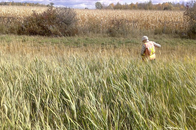
First, environmental experts conducted a map-based analysis of the study area to identify potential axes that would be suitable for the underground line. Then, over the last year, environmental field surveys were conducted.
The following factors were taken into account in connection with the human environment:
The following factors were taken into account in connection with the natural environment:
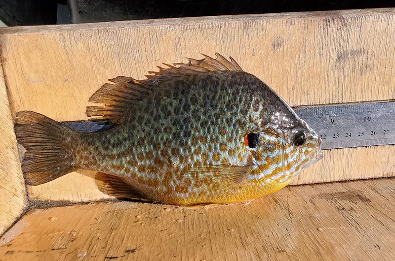
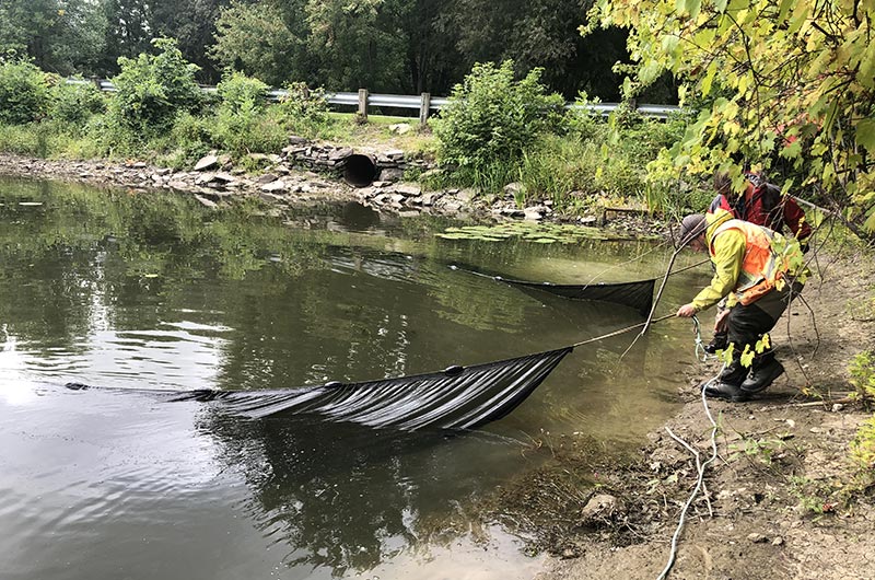
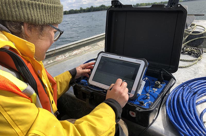
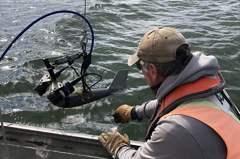
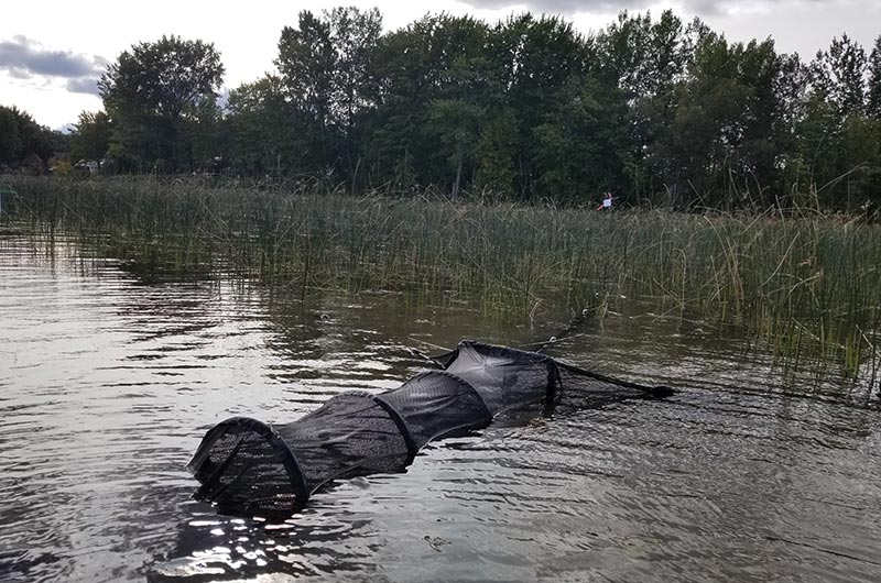
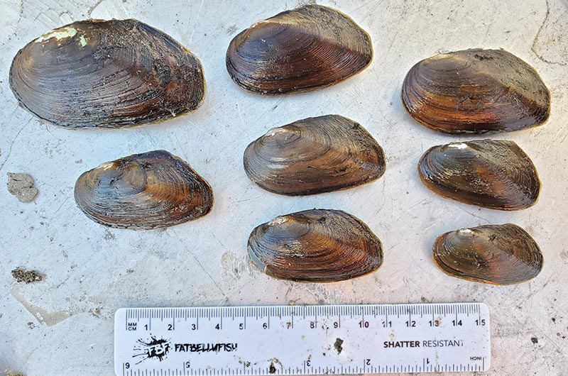
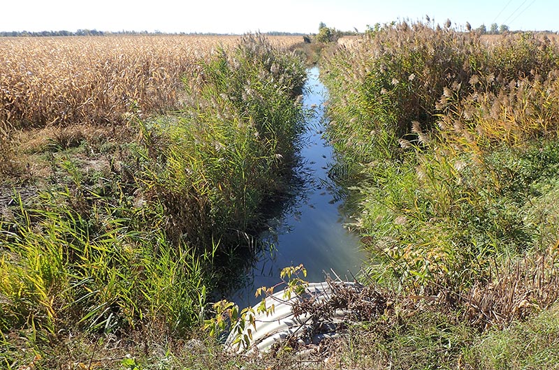
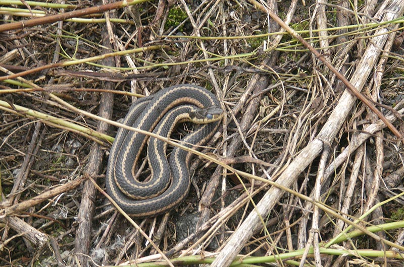
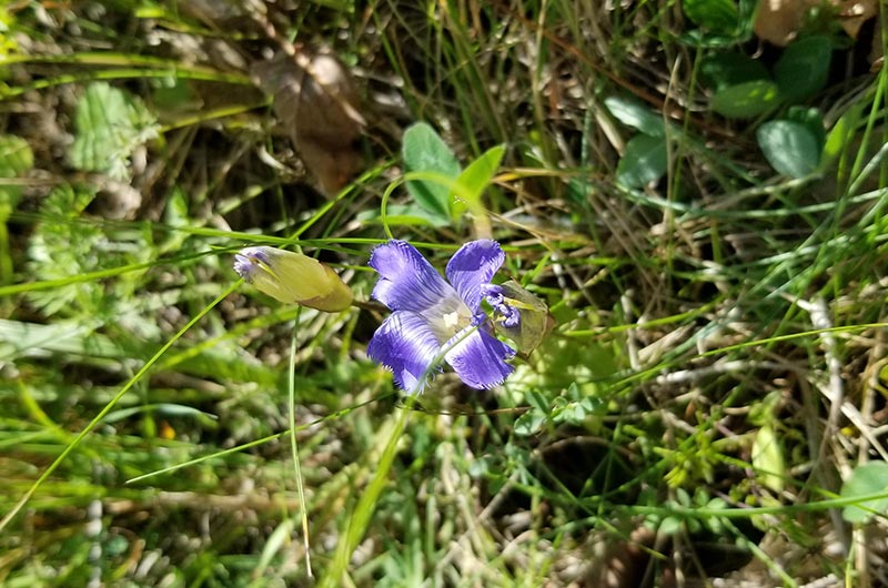
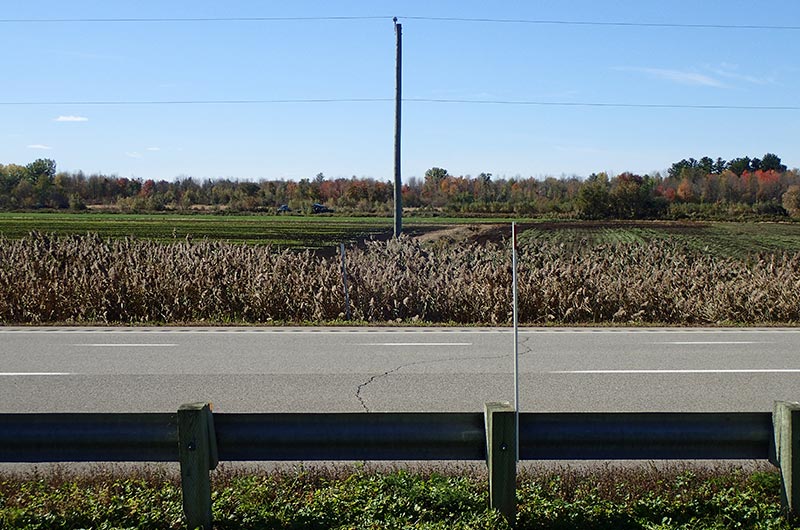
The following content countain photos about: environmental studies
We’d like to continue the discussion with you. We welcome any questions or comments you might have about the project.


Stay informed on the stages of the project and the progress of work.
Subscribe to HertelNew York interconnection line newsletter