Important reminder
In the event of a flood, contact your municipality. They will advise the Ministère de la Sécurité publique du Québec, which coordinates all flood-related activities.
Abitibi-Témiscamingue
Reducing the impact of spring runoff: A team effort between Hydro‑Québec and its partners
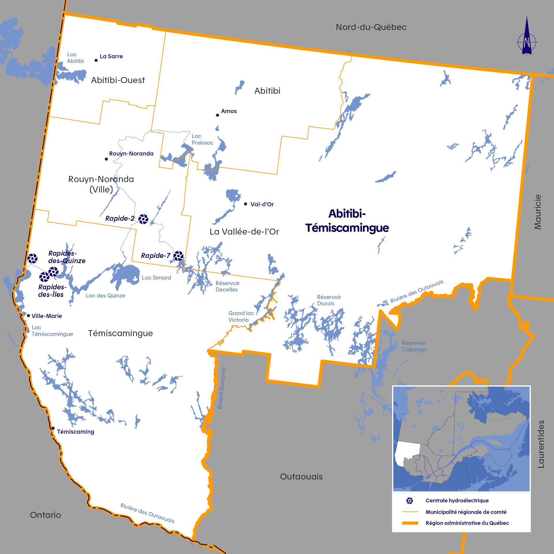
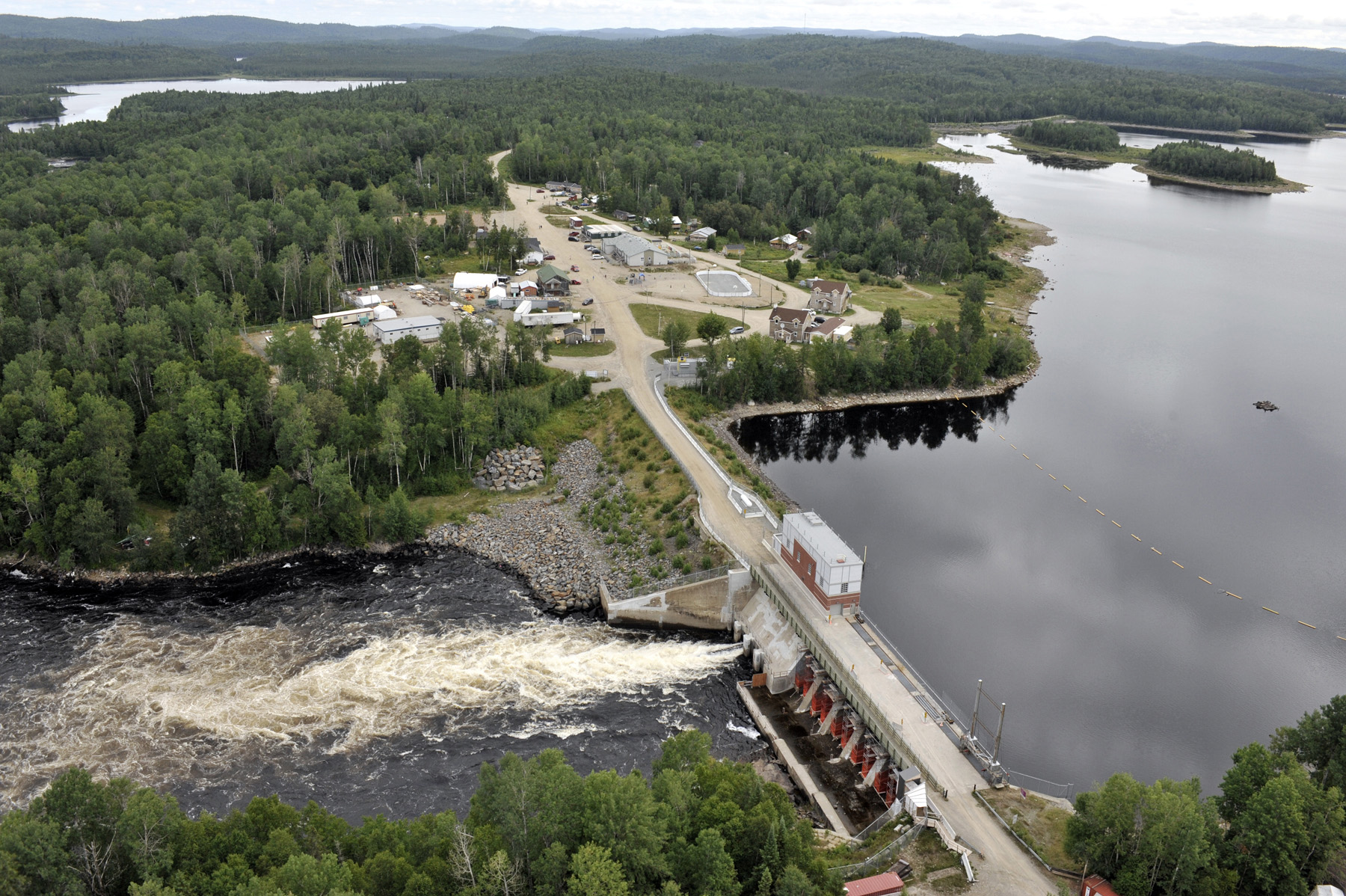
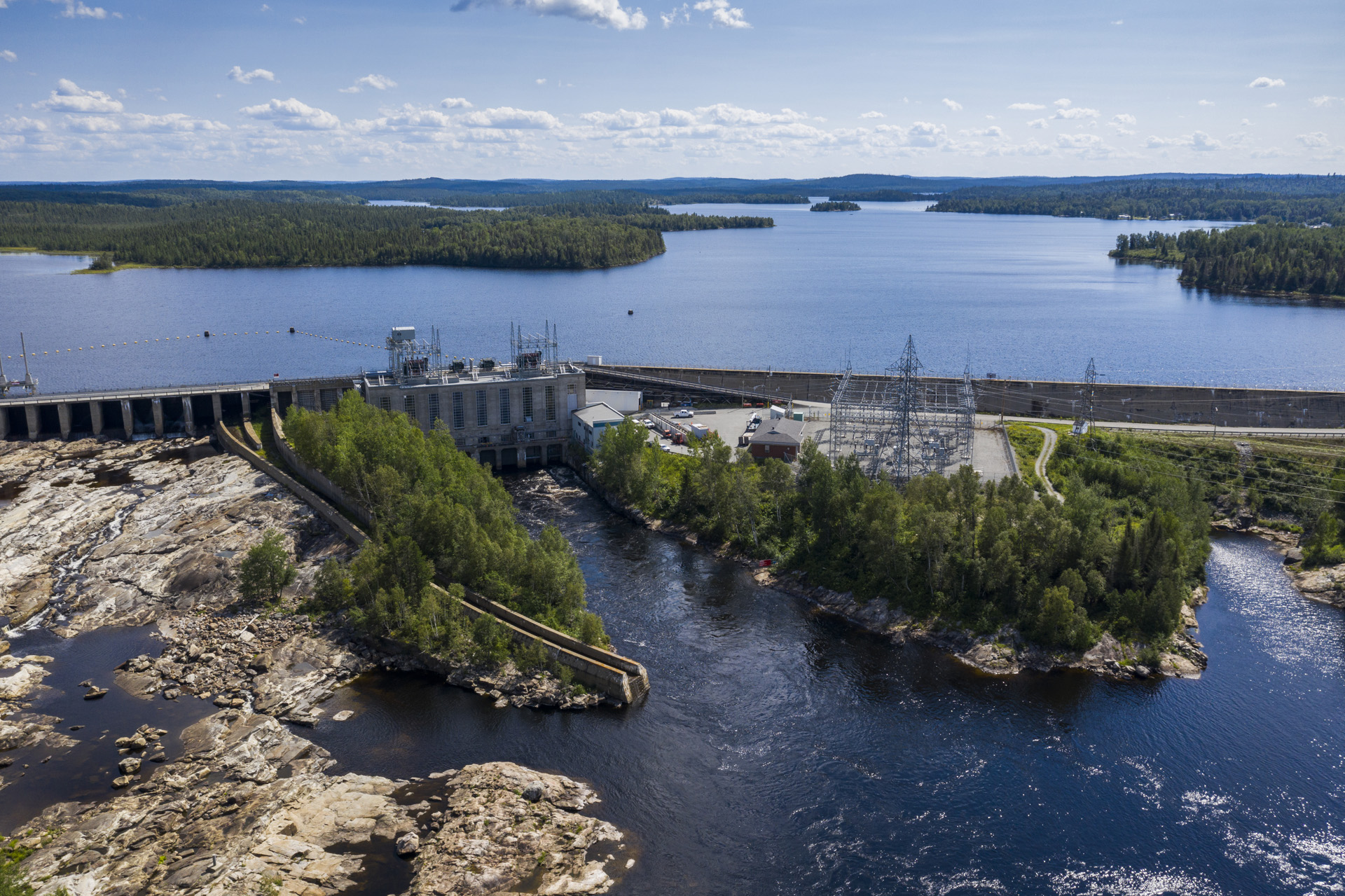
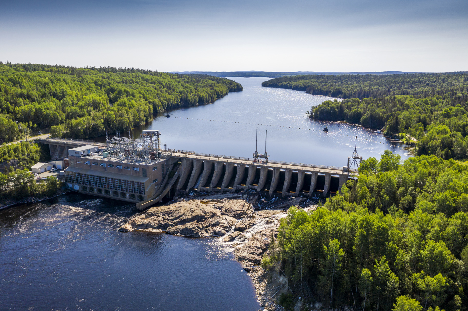
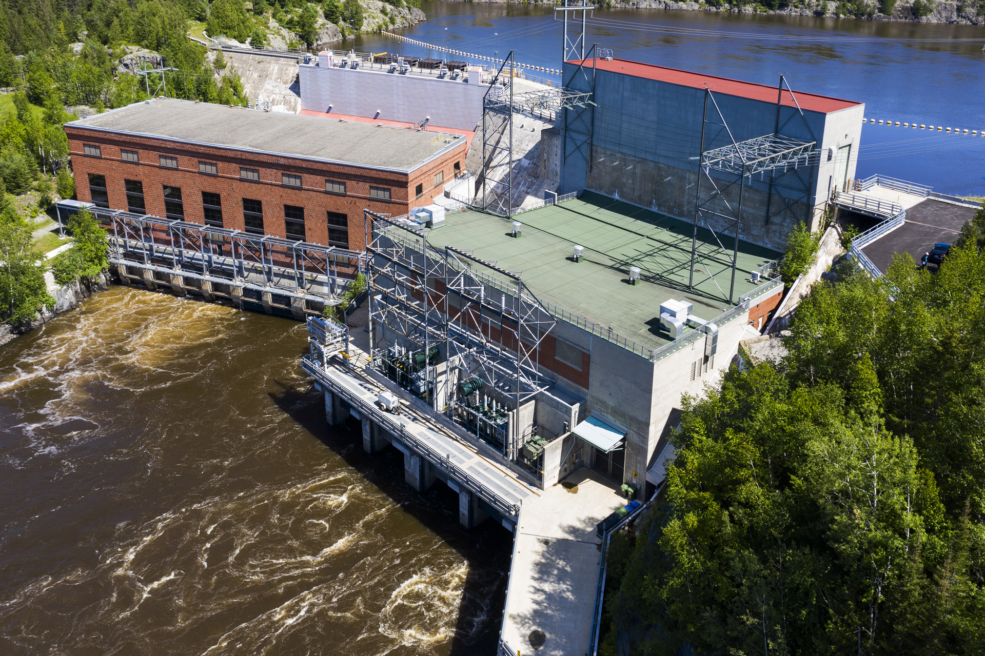
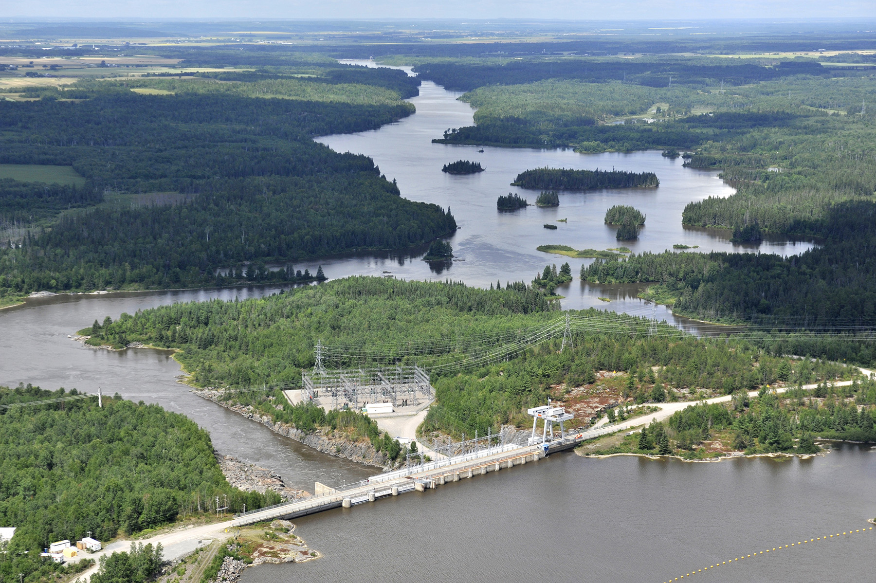
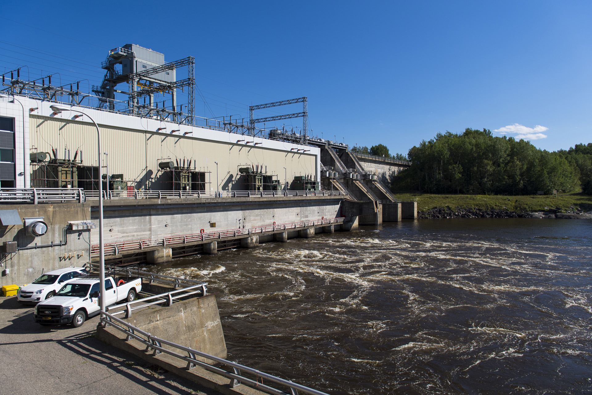
The Rivière des Outaouais (Ottawa River) is the only river in the Abitibi-Témiscamingue region that is home to Hydro‑Québec's hydropower facilities. We operate five generating stations on the upper Outaouais: Rapide-7, Rapide-2, Rapides-des-Quinze, Rapides-des-Îles and Première-Chute. These facilities are supplied by Dozois and Decelles reservoirs.
Hydro‑Québec is not the only operator of reservoirs and generating stations in the region.
Did you know? Managing the water levels and flows of the Rivière des Outaouais (Ottawa River) is a collaborative effort between partners. Every drop of water in the river is monitored by the Ottawa River Regulation Planning Board![]() (ORRPB).
(ORRPB).
The ORRPB is made up of all the agencies that participate in managing the Outaouais watershed: the Ministère de l’Environnement et de la Lutte contre les changements climatiques du Québec (MELCC), the Ministry of Natural Resources and Forestry of Ontario, Environment and Climate Change Canada, Public Services and Procurement Canada, the Canadian Coast Guard, Ontario Power Generation and Hydro‑Québec.
Visit the ORRPB website to track the hydraulic conditions of the Rivière des Outaouais.![]()
The members of the ORRPB work together to effectively reduce the impacts of spring flooding.
A tool that identifies flows and water levels
We are installing measuring instruments on rivers and reservoirs where we operate dams and generating stations. They provide flow, water level and meteorological data. This data is available to you through a simple tool, which can provide information about flows on rivers and water levels in reservoirs.
Learn more about the Tool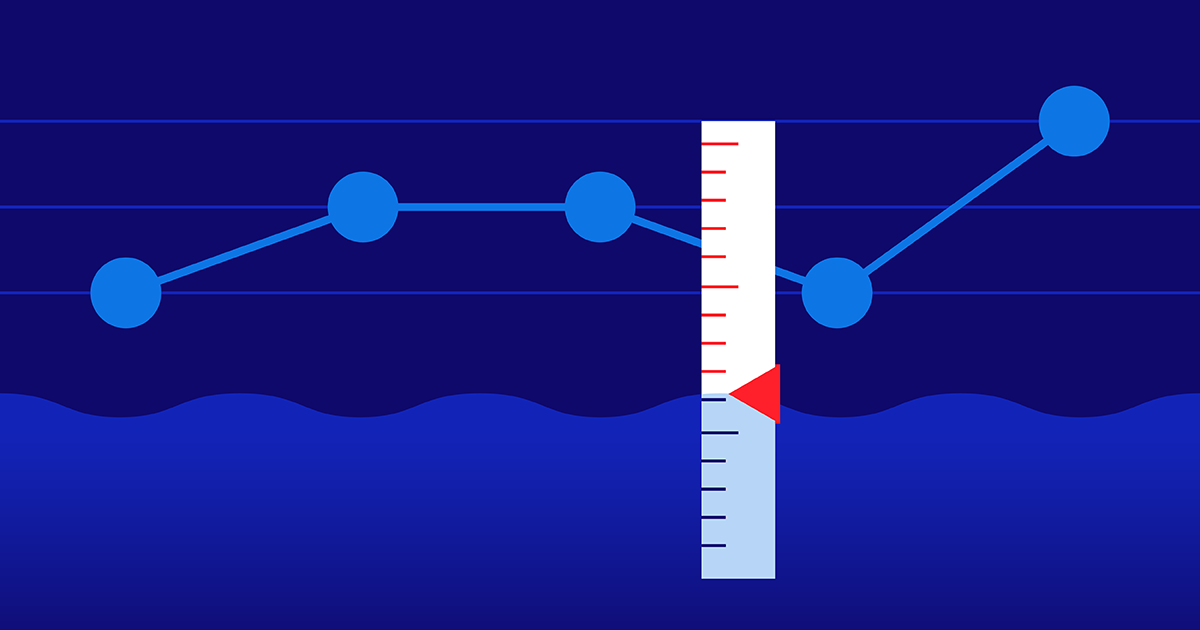
What we do to limit spring flooding
From December to March, Hydro‑Québec gradually empties Dozois and Decelles reservoirs. When the spring thaw begins, the reservoirs contain almost no water. From early April to early June, we hold back the water for as long as possible. Reservoirs are filled close to capacity to limit inflows to the Outaouais, which is already swollen with water from the surrounding watersheds.
Our expert explains how we manage the Rivière des Outaouais
Did you know? The construction of Dozois reservoir in 1948 has reduced inflows at the peak of the spring flood by roughly 50% in the Rapide‑2 area.
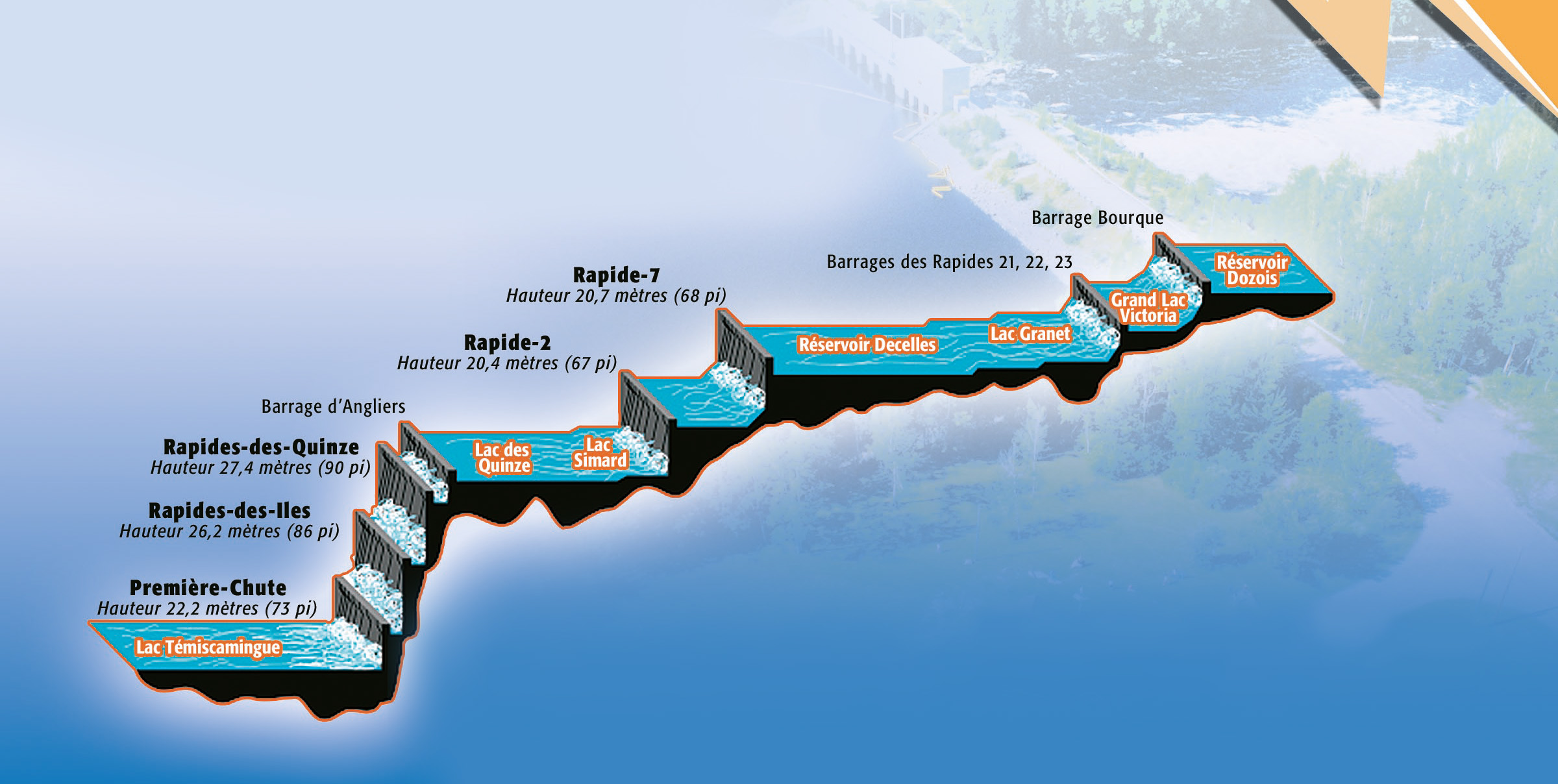
The Rivière des Outaouais (Ottawa River) is 1,120 km in length, making it Québec’s longest river. Its upper reaches cross the Abitibi‑Témiscamingue region from east to west, from Dozois reservoir to Lac Témiscamingue.
To store water, Hydro‑Québec relies primarily on Dozois reservoir, which has a capacity of 1,871 hm3. Although Decelles reservoir may look bigger in the illustration, its capacity is only 387 hm3.
Cabonga reservoir: One reservoir, two rivers
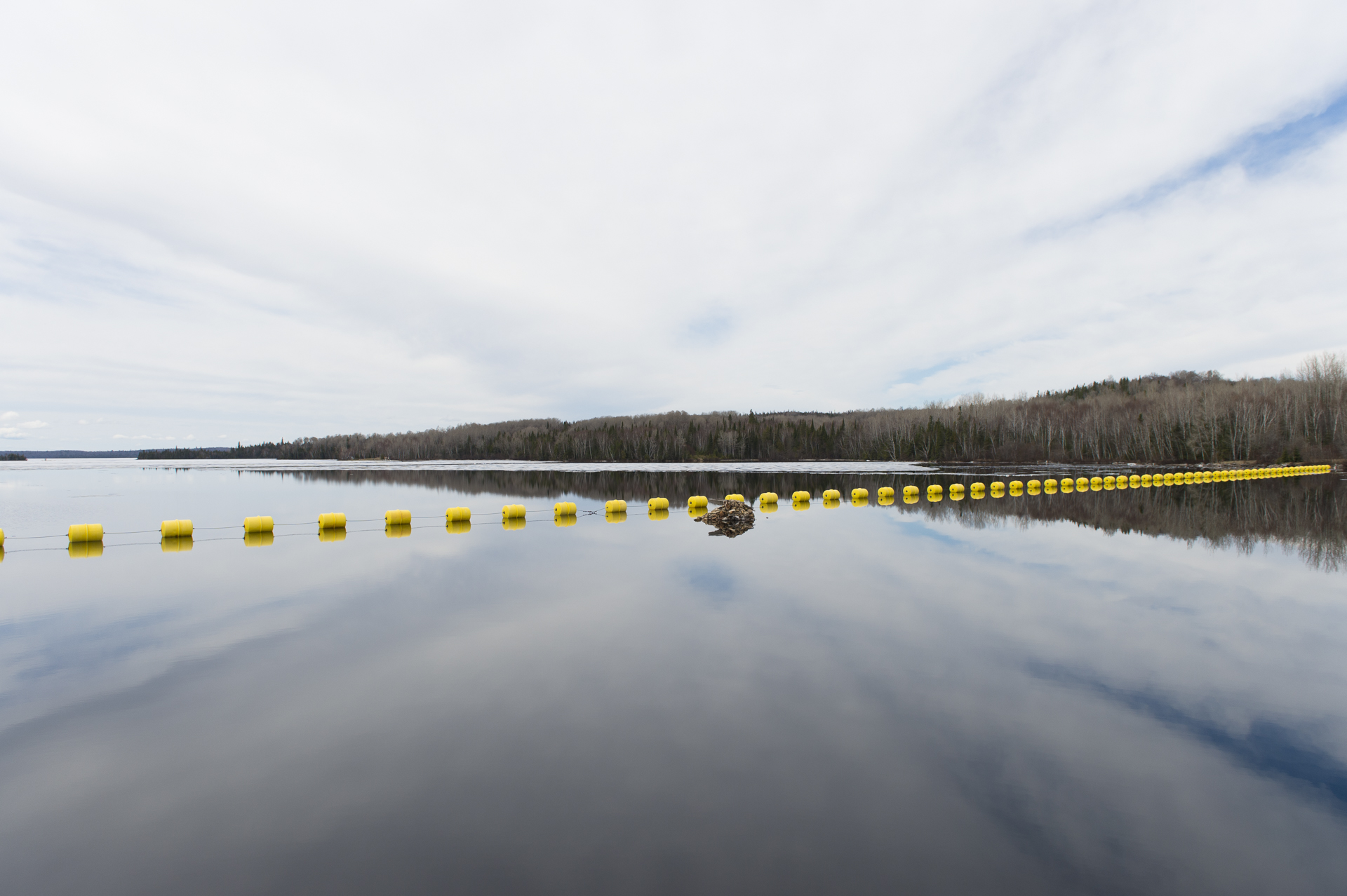
Cabonga reservoir is spread out across two regions: Outaouais and Abitibi-Témiscamingue. Its two outlets discharge its waters to the south and west. When the water flows southward, through the Rivière Gens de Terre, it joins Baskatong reservoir, which regulates the Rivière Gatineau. When the water flows westward, it reaches Dozois reservoir, which controls the inflows to the Outaouais.
In the winter, the water levels in Cabonga reservoir are drawn down, making room for it to store the water inflows that arrive in the spring from more northern areas. Its two discharge structures remain closed during most of the spring flood.
Hydro‑Québec has no facilities on Rivière Kinojévis for storing surplus water
The five lakes area (Beauchastel, Montbeillard, Bruyères, Kinojévis and Baie Caron lakes) receives the inflows from the watersheds north, east and south of Rouyn-Noranda. This water then flows into Rivière Kinojévis, and in turn into the Outaouais.
However, the Kinojévis narrows in the 26-km stretch before it meets the Outaouais, which, along with the presence of the Gendron rapids, hinders the flow of water into the Outaouais. During spring flood periods, the surplus water causes water levels in the lakes to rise, sometimes leading to floods.
Since Hydro‑Québec has no reservoirs, dams or generating stations on the Kinojévis, it cannot store this surplus water.
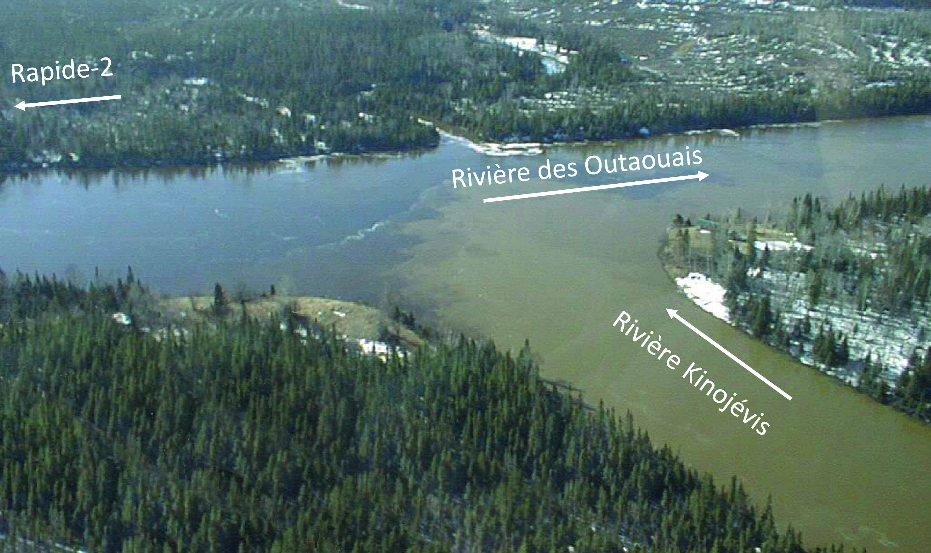
The Kinojévis flows to the Outaouais and not the other way around. April 24, 2002
For more information on the Rivière Outaouais watershed, visit the ministère de l’Environnement et de la Lutte contre les changements climatiques![]() (web page in French only).
(web page in French only).
Diaporama
Le contenu qui suit est un diaporama d’images sur : Les normes
Frequently asked questions
Do all the dams located between Dozois reservoir and the Première-Chute generating station belong to Hydro‑Québec?
What is Hydro‑Québec’s role during flood season in the Beauchastel, Montbeillard, Bruyère, Kinojévis and Baie Caron area?
Is the level of Lac Beauchastel affected by Hydro‑Québec’s operations at the Rapide-2 generating station on the Outaouais?
What is the role of the Rapide-7, Rapide-2, Rapides-des-Quinze, Rapides-des-Îles and Première-Chute generating stations during flood periods in the Témiscamingue region?
Does Hydro‑Québec retain water in the Témiscamingue region to limit the impact of the flood further south?
How are citizens informed about the water levels on the Rivière des Outaouais due to spring thaw?
Questions on how Hydro‑Québec facilities are managed? Write to us at Affairesregionales@hydroquebec.com.
